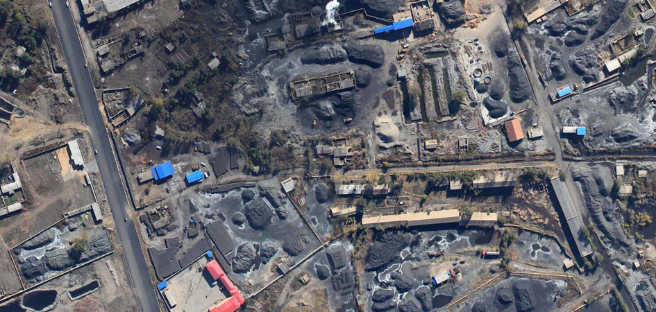
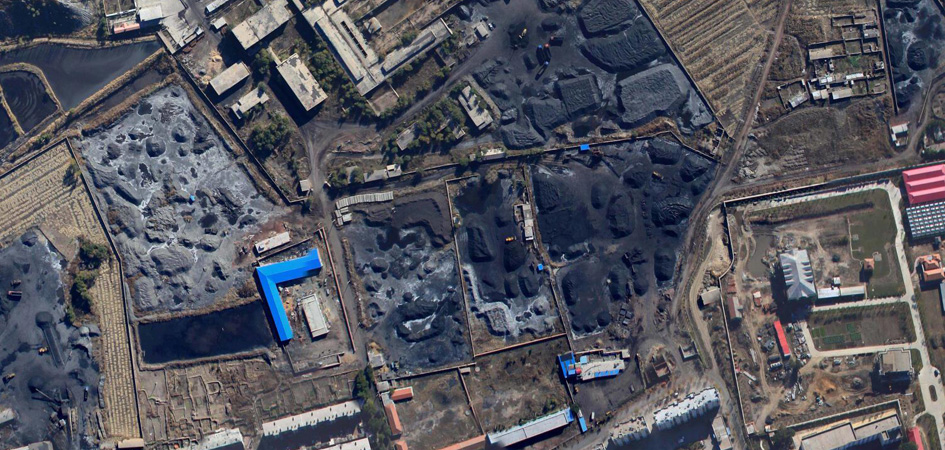
Mining
In the mining process, blasting, planning, lighting, road detection, testing, material placement, and mine ecological reconstruction have benefited greatly from the new technology of drones.
The UAV's remote sensing mapping system uses low-altitude remote sensing to reduce the delay and manual intervention with drone automation technology to further improve the connectivity between the ground and the mine, and to obtain the geographical location around the mine with a faster and stronger safety factor.
Mining activities may directly induce geological disasters such as landslides, mudslides, and collapses, causing great harm. The UAV aerial remote sensing system has the characteristics of strong timeliness, rapid maneuverability, high image resolution and economical speed. It can operate in high-risk areas and also plays an important role in mine disaster emergency rescue command.