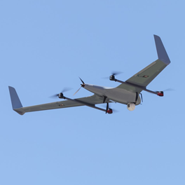
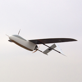
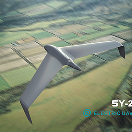
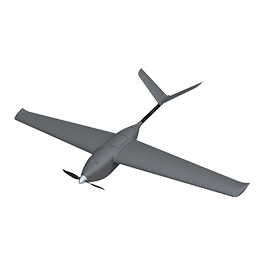
Surveying
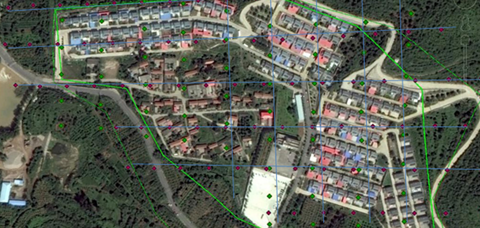
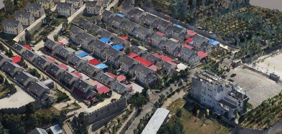
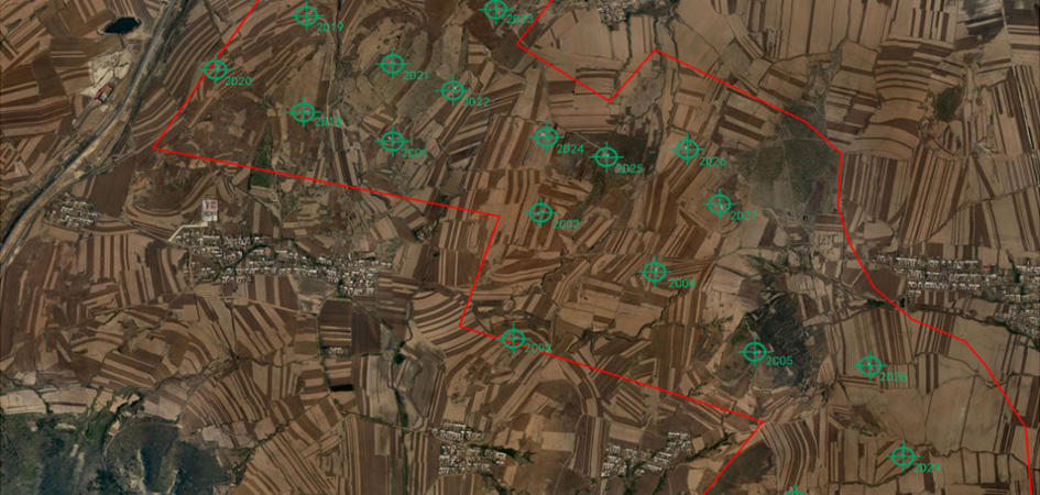
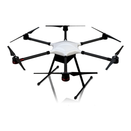
The surveying and mapping drone is equipped with a digital camera to capture the ground, complete data acquisition, obtain high-precision 3D data of the surface, quickly model the oblique oblique photography of collaborative work, and draw a topographic map of the corresponding scale. The requirements for the site are small, the terrain is adaptable, and the safety of the operator is ensured to the greatest extent. The UAV remote sensing technology has been applied to land surveying and mapping work many times. The technology is mature and the precision is better than the traditional measuring method, which greatly reduces the working time and improves the working efficiency. Surveying and mapping drones serve all aspects of economic and social development with high mobility, cost-effectiveness and high security.